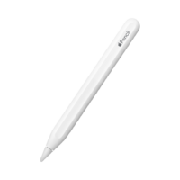
your iOs GIS workstation
Mobile Apple devices are more powerfull than ever. GIS Lite is a professional mobile GIS solution that enables users to create, edit, visualise, analyse and publish geospatial information.
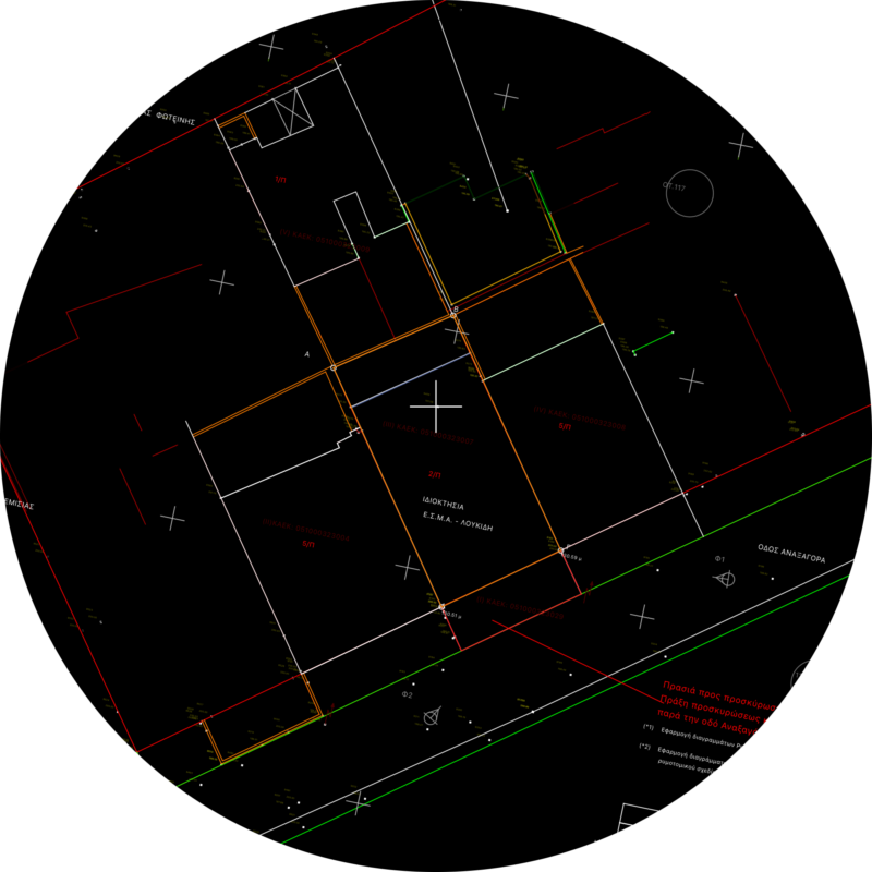
Vectors for all
GIS Lite engine is continuously expanding to support natively more and more vector formats. You can load Shapefiles (.shp), DXF files (.dxf), KML files (.kml / .kmz) and more.
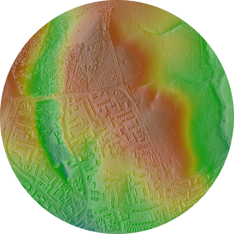
Raster support
Raster Data support is provided for certain file formats and keeps expanding. Currently GeoTiff files can be loaded and rendered, but also PNG, JPEG files along with the corresponding worldfile.
Raster support
Raster Data support is provided for certain file formats and keeps expanding. Currently GeoTiff files can be loaded and rendered, but also PNG, JPEG files along with the corresponding worldfile.

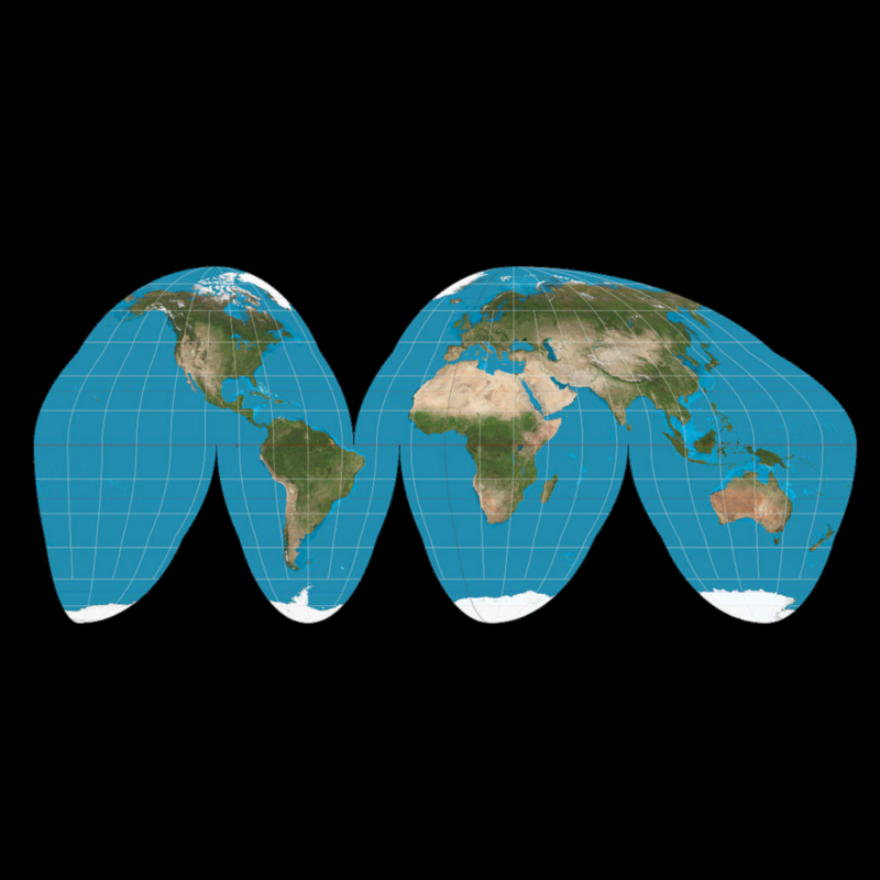
Math under the hood
GIS Lite has integrated a list of more than 3000 projections. You can display cursor position on any datum you require but also define the projection for files that do not include this information.
Collecting data is cool !
Have fun collecting data using your Apple Pencil, taking photos or even using LiDAR sensor to capture a 3D model. There are simply not enough things you can’t do.
